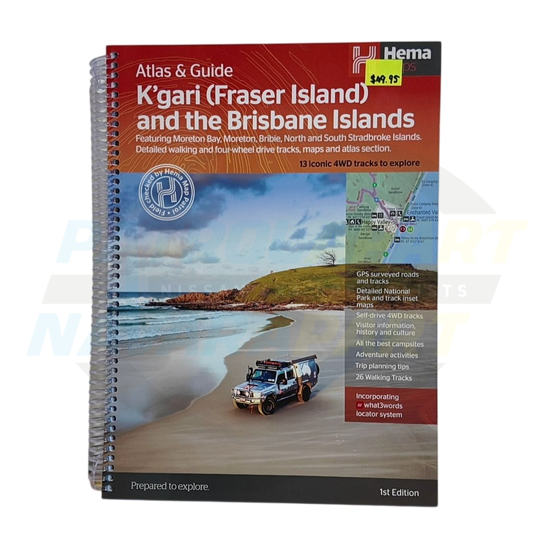
An essential item for the glovebox or map pocket of any vehicle heading to K'Gari (Fraser Island). This comprehensive atlas and map from Hema is your ultimate guide to navigating the world's largest sand island safely and efficiently.
In a remote location like K'Gari, mobile phone reception and GPS signals can be unreliable or non-existent. A physical map is a crucial tool for navigation, trip planning, and safety, providing vital information on track conditions, tidal crossing times, points of interest, camping areas, and essential facilities that digital devices may not have access to offline.
Without a reliable and detailed map, drivers risk getting lost, taking a track unsuitable for their vehicle, or worse, getting stranded by an incoming tide. Don't let your adventure turn into a misadventure; a Hema map is a small investment for peace of mind and a successful trip.
This product is an essential accessory for any vehicle planning a trip to:
Please check vehicle fitment to confirm compatibility with your vehicle. Please contact us with your VIN details if you require further assistance to confirm fitment.
Hema Maps is Australia's premier producer of mapping and navigation solutions for outdoor adventure and exploration. Renowned for their accuracy and detail, Hema products are trusted by 4WD enthusiasts, tourers, and emergency services alike.