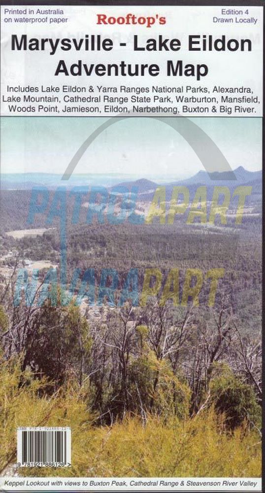
Marysville Lake Eildon Adventure Map (Rooftop)
A double-sided map includes Lake Eildon & Yarra Ranges National Parks, Mansfield, Woods Point, Lake Mountain, Jamieson and more. Also features pictures of Murrindindi and Mansfield and individual town maps of Mansfield, Eildon, Alexandra, Marysville and Woods Point as well as Lake Mountain and Cathedral Ranges.
Features include:
Printed on waterproof paper.
Track classifications
Camping and facility symbols
Fishing spots
GPS coordinates
Map opens out to 900mm x 620mm, printed on both sides
Date Published: 2014
Scale 1 : 100,000
Please check out our other maps and books for sale.