Meridian Map Wombat State Forest 4WD 5th Edition 2021
SKU: WOMBATMAP

$14.95

In Stock in our Warehouse
  • Visa Card
  • Master Card
  • ANZ
  • Paypal
  • Android Pay
  • Apple Pay
  • Zip Pay

Shipping Estimate

Select Quantity:


Got a question about this product?
Ask us here on the below form.

Wombat State Forest 4WD Map

Description

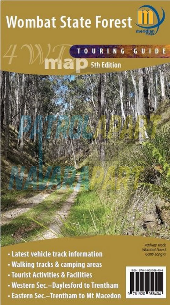
Double-sided 1:50,000 scale map covering the entire Wombat State Forest from Daylesford through to Woodend and the Macedon Ranges. Ideal 4-wheel drive map which highlights all the tourist activities and features of the region such the wineries, mines, mineral spas, picnic grounds and more. Includes the Great Dividing Trail and Wombat Forest Drive. Ideal touring map for four-wheel driving, holidaymakers, bushwalkers and day-trippers. Recently updated to include pet-friendly campgrounds, accommodation, local produce, petrol stations, waterfalls and more tourist information.

  • 5th Edition 2021
  • Scale 1:50 000
  • Double sided
  • Wombat State Forest
  • Hepburn & Macedon Regional Parks
  • Detailed facility information
  • New and updated tourist symbols
  • Easy to read design
  • Highlights Goldfields Tracks & Wombat Forest Drive
  • Map size 750mm(H) x700mm(W) flat
  • ISBN: 978-1920958404

Please check out all the other maps we have available in our online store.

User Reviews

  • Be the first to review this product.

Please Login to add your review.