SKU: 718122171095
Brand: HEMA

$13.95

In stock ready to ship

Select Quantity:

Shipping Estimate

Got a question about this product?
Ask us here on the below form.

Mt Feathertop / Mt Hotham Forest Activities Map - (Rooftop)


Rooftop Map Mt Feathertop & Mt Bogong.

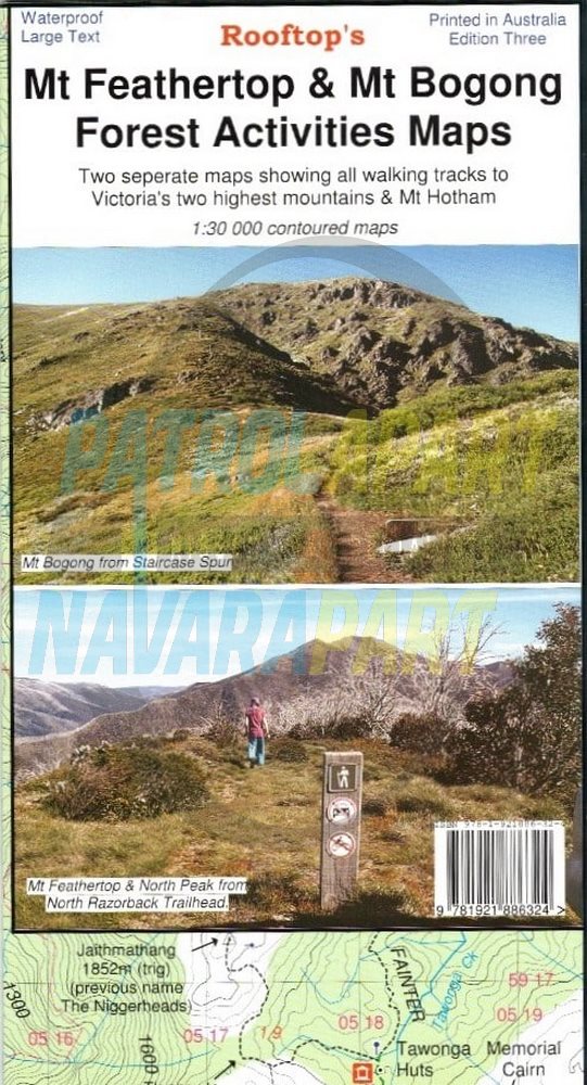
Covering Victoria’s 2 highest mountains, all the walking tracks are shown on this map. Also covers Mt. Hotham.

Two separate maps.

Main side:

  • South – Mt St Bernaud 1532m. & Mt Hotham Village.
  • North – North West Spur Walk 476m. elevation & North Razorback Walk 1560m. elevation.

Reverse side:

  • South – Falls Creek & Johnston Hut.
  • North – Trappers Gap 1010m. elevation & Staircase Spur Walk.
  • Inset – Mulhauser Spur Link Map.
  • Bogong Village.

Scale: 1:30,000

Waterproof Map 2022.

Please check out our other maps and books for sale in our online store.


User Reviews

  • Be the first to review this product.

Please Login to add your review.