Coverage is from Alexandra, Narbethong and Buxton in the east. Cobaw, Lancefield, Macedon and Romsey in the west.
It includes Cobaw & Tallarook State Forests, Mount Disappointment & Toolangi State Forests. Also Black Range, Kinglake National Park, Healesville, Murrindindi, Yea, Highlands, Seymour and much more.
Scale is 1:100,000.
On the reverse are 3 maps at 1:50,000 scale. ‘Macedon Ranges Forest Activities Map’, ‘Cobaw Ranges Forest Activities Map’ & ‘Tallarook Forest Activities Map’ all with contours.
Rooftop maps are a must for all users including 4wd, dirt bike riders, walkers or horse riders.
Shown are all parks, reserves and state forests. Roads and tracks have been plotted using GPS mapping technology.
Waterproof paper.
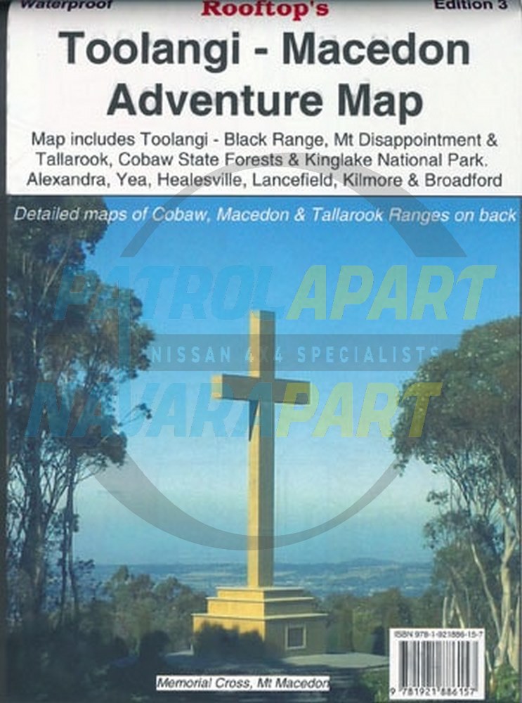
Explore the interesting Toolangi, Macedon and Murrindindi Country with the Rooftop Toolangi Macedon Adventure Map.
Please check out our other maps and books for sale.